

How to Read Tide Charts
The natural phenomenon of tides is as old as the earth. The alternating advance and retreat of seawater along a coastline, called tides, has an indelible impact on marine life, our ecosystem, and maritime activities.
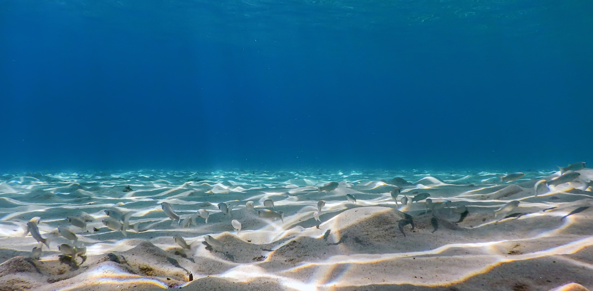
Maritime activities worldwide depend on the availability of accurate tidal and current information. The tide-specific optimization of cargo loading and ship scheduling, done with precision, has significant economic benefits. Knowledge of tides also helps make effective decisions in uncertain sea levels. They affect the marine ecosystem, and intertidal zones are known for the variety of marine life they help to breed. Tide pools, holding water left behind among the rocks at low tide, include a diverse population of tiny plants and animals, serving as food for larger species.
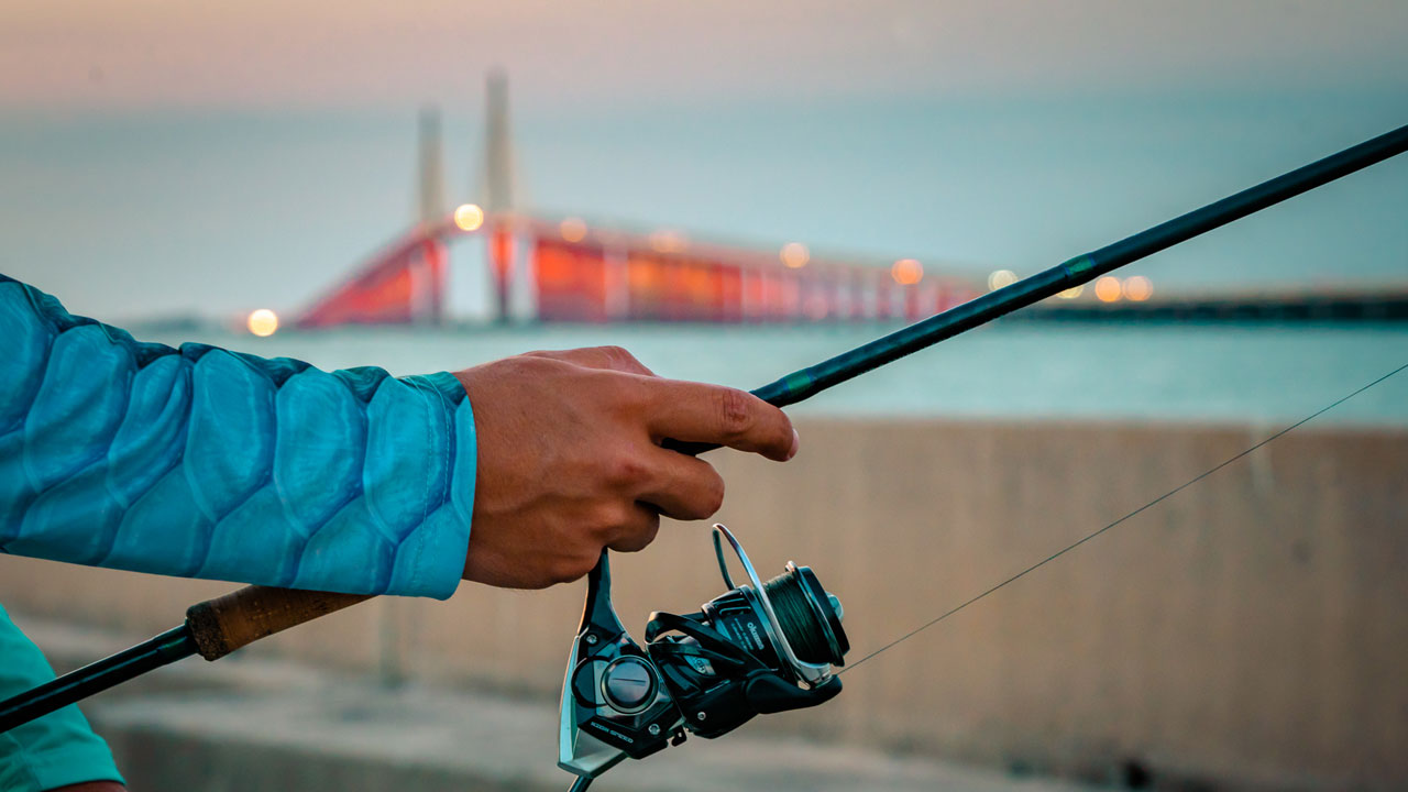
Coastal areas, home to millions of people and animals, also consider tides and information relating to them with sensitivity as it directly impacts their life. Another area that has a significant association with tidal information is fishing. The fishing industry at a broad scale and individual anglers - both communities know very well how crucial tides are to them. And tide charts play a vital role in locating certain species of fish. Here, we will look at how to read tide charts. But before delving deeper into their intricacies and nuances, let us have an overview of tides and tide charts.
The Science of Tides
Gravitational forces exerted on the earth by the Moon and, to a lesser extent, the Sun is why tides happen. They are periodic oscillations in the sea level.
One can also understand them as very long waves moving across the oceans. If we think of them as waves, a high tide occurs when the highest point in the wave - the crest - reaches a coast. On the other hand, the lowest point of the wave, which is the trough, reaching the coast implies a low tide.
Scientifically, Newton's law of universal gravitation explains the phenomenon of tides presciently.
As we all know, the law of universal gravitation by Sir Isaac Newton dictates the force of attraction between two celestial bodies to be proportional to the mass of the celestial body and inversely proportional to the square of the distance separating them.
Moon is much closer to the earth than the Sun. Resultantly, despite its enormous mass, the actions of the Sun do not account for half of the impact created by the Moon. Scientific readings infer that tides happen principally by the provocation of the Moon. Moon's gravitational pull is the strongest on the earth's side facing the Moon. The ocean is pulled towards it, resulting in a high tide.
Tides have a cyclical nature, happening in different areas at different times of the day. The cause remains the same. With the earth spinning, diverse zones of the planet keep facing the Moon at other times, causing high tides in those areas.
Characteristically, tides are also functions of a coast's geography. Therefore, producing reliable tide forecasts, which we will discuss in detail in the coming segments, involves continuously recording sea levels at different times of the day.
Tides are also often characterized as astronomical tides since we only consider the impact of the Moon and the Sun, the celestial bodies. However, we must remember that many atmospheric factors, especially the wind and the rain, also play pivotal roles in deciding the nature of the tide.
Before Delving Deeper into the ways of reading tides, we will look at the types of tides.
Types of Tides
We can classify tides from the perspective of the height of the water and its lunar phase.
If we go height-wise, tides can be high or low. A high tide is when the sea water reaches its maximum height within the tide cycle. A low tide occurs when the seawater reaches its lowest height.
There are two high tides and low tides within each lunar day. A lunar day is nothing but the time the Moon takes to return to a specific position to us, which we can also imagine as the starting point for it to complete one round. A lunar day lasts 24 hours, 50 minutes, and 28 seconds.
If we go by the lunar phase, tides can be Spring Tides or Neap Tides. The Moon and the Sun are in the same line during the Full Moon and New Moon phases. It is when Spring Tides happen, resulting in increased marine life activity, especially if these phases coincide with the sunrise or sunset. These are good days for fishing.
Neap Tides happen during the waxing or waning moon phases when the Sun and the Moon form a right angle with the earth. Neap Tides, as evident from their celestial cause, result in tides of less amplitude. There is less movement on the seabed during these phases. Neap Tides are not that favorable to fishing compared to the days of Spring Tides.
So far, we have discussed the phenomenon of tides keeping the sea and oceans in mind. While moving into the tide-reading part, we must proceed with the information that tides impact rivers too.
Coastal tides spread upwards in rivers with identical periodicity. However, since the original energy dissipates with the spreading of it, the river tides, in most cases, are much less perceptible. In estuaries and rivers, a high tide lasts for a shorter span than a low tide.
There is also the phenomenon of tidal bore, with a rapid ascent of the water upriver. These are moments when breakwaters, enclosing the entire river bed, experience a quick surge.
How to Read Tide Charts
Now that we have understood why tides happen, what factors drive them, and the places where it affects, we must get into learning how to read tide charts.
What is a Tide Chart?

Also known as tide tables, tide charts, as the name suggests, offer the tide prediction of an area with dates, times, etc. Marine activities and fishing depend a lot on tidal conditions. Making decisions based on anticipated tidal movements in an area keeps anyone safe, considering venturing into the water. Anglers, fishermen, swimmers, surfers, beachcombers, boaters, everyone can benefit from a tide chart, which gives out the time of high tides, low tides, and their heights for each day.
Essentially, a tide table or chart consists of the morning and afternoon high tide and the time of the morning and afternoon low tide. Moreover, it also charts the height of the morning and afternoon low tide and the high tide.
These charts' format and appearance may differ depending on who is preparing them. But what is for sure is that the charts comprise three sorts of information: date, time, and the height of the tide, organized in grid form.
The Purpose of Reading the Chart
The reader of the charts must know why he wants to look at the grids before going into the water. If the purpose is to go to the water every day, it is crucial to look for the date and time to know when the tides are expected to come. Another way could be locating a specific type of tide and venturing according to that. For instance, spring tides are the time when one benefits from fishing. If the goal is to have a good fishing trip, locating spring tides from the chart and their timing is prudent. There could be instances where the reader wants to avoid high tides to have a safe experience in the water. In those cases, it is judicious to locate high tides from the chart.
Another crucial factor in reading a tide chart is understanding the tidal heights. It is also known as the chart datums, which one must understand well. The chart datum is the average of high and low tides. It is a practice for the tide charts to note the depth of the water at a specific time and then add it to the chart datum to create the average of tide heights. While reading a tide chart, one must remember that the heights noted on the chart are measures of the water above or below the chart datum, which is the lowest average tide.
The chart reader needs to observe and calculate the time of the high and low tides and the difference in height between these two. The height value comes in either meters or feet. The higher number of the two will be the value for the high tide, telling you how high the tide will be above the average, or the chart datum, at its high point. Some charts might have the plus sign in front of it, denoting the excess. In the same way, the low tide value will indicate how low the tide height will be from the chart datum. Like the plus sign for the high tide, the low tide will have a negative sign in front of it.
Finally, one of the most overlooked yet vital aspects of the chart and the times noted in it is whether it is written in the military system or not. The military system tells the time on a scale of 24 hours rather than 12 hours. It uses four numbers, where the first two show the hour and the last two show the minutes. For instance, if it is 11 in the morning, military time will show 1100. And if it is 1 PM, that is to say, 1 o'clock noontime, the military system will show 1300.
Whatever system is in place to tell the time, the chart reader must be sure that he has discerned the times of the morning and evening tides correctly without getting mixed up between the two.
Peripheral Information in a Tide Chart
Some tide tables or tide charts may have additional information, including the wave interval or the direction of a swell. As evident from the name, a wave interval measures how many seconds would pass on an average between two subsequent waves. The wave interval calculation involves a buoy or marker, measuring how long it takes for the wave to hit that specific marker.
The swell direction indicates the angle waves will approach from. It generally comes as a letter in the tide chart. For example, if the corresponding letter on the tide chart is 'E,' it will imply that the waves will come from the East.
A Bit of Caution
Remember that a tide chart published on a specific date is not sacrosanct for all following days. Since it changes daily, one must ensure using up-to-date tide charts.
The change in the area causes variance in the schedule of the tides. It is prudent to use a tide chart as area-specific as possible. There are so many factors that influence a tide, as we've already seen. It is crucial to be mindful of its influencing context to understand that tide charts are only about predictions.
While it is true that the gravitational forces between the Moon and the earth are its primary driver, local weather, wind patterns, and coastal geography also play a role. Being sure about the time of the tides and their heights does not make one safe. One must always be aware that tides on the beach may not follow the time. Staying cautious throughout the expedition does not harm anyone.
Now that we've covered everything closely related to reading a tide chart, we must gain knowledge about some other vital factors that have their bearing on understanding tides well.
Tidal Coefficients

Tidal coefficients are nothing but what has already been discussed: the amplitude of the tide forecast. Simply put, these are the differences in height between the consecutive high tides and low tides in any given area. So many elements go into calculating a tidal coefficient, including the Sun and Moon parameters, such as ascension, declination, parallax, and the distance of these celestial bodies from the earth. Although tidal coefficients are the same for the whole planet, their impact on the tide forecast amplitude is geography-specific. Variation in amplitude almost does not exist in closed seas. It is weak or hardly noticeable in the mid-ocean. However, it is of considerable importance and magnitude when extended to the continental coasts. The highest possible tidal coefficient is 120. Reportedly, the Bay of Fundy in Canada and the Bay of Mont Saint-Michel, France, produce the most significant tides in the world.
The Impact of the Space and Time
Tides of weak intensity happen in areas close to the terrestrial equator. In these areas, the tides hardly reach tens of centimeters. On the other hand, we have already mentioned places where they exceed the 50 ft. mark. Speaking of time, one may note disparities during the waxing and waning moon phases and more during the new and full Moon.
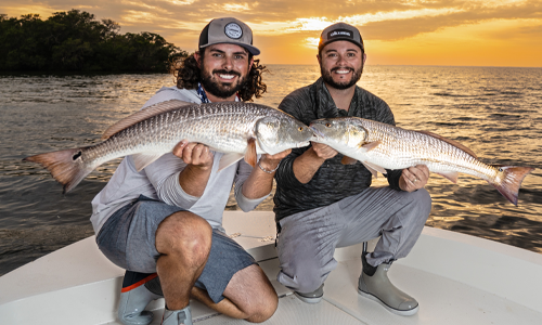
Tides and Fishing
Regarding the relationship between tidal and fishing activities, anglers have their theories learned from real-life experiences. However, none of them negates the Moon's impact to be the most crucial of all. Many in the fishing community are sure that fish feed during the first two hours of a high tide and the last two hours of a low tide. However, one must be aware that tides work as catalysts in fishing rather than being a dominantly determining factor.
For a good fishing expedition, so many things have to sit correctly. A low water temperature makes the fish live in it lethargically. Fishing also may not yield the expected results if atmospheric pressure exceeds a certain level. Tides are crucial to fishing because they control the water's depth in places where fishes tend to eat. When fishing happens near the mouths of rivers and canals, the tides have a more significant influence, for it is in charge of the fish flow.
Apart from the two-hour-long periods when fishing is convenient, the Solunar Theory also speaks of minor periods for fishing. These are intermittent periods of lesser duration, lasting for around an hour, that coincide with the Moon's rising and setting. Experts believe that during these periods, one can notice an increase in fish activity compared to the rest of the day.
Fishing, irrespective of how many factors we consider to judge its success probability, often appears to be a matter of luck. Yet, one must not approach it without understanding its science. It is crucial to comprehend tides' trends well to successfully fish and be safe in any venturing into the water.
One of the most useful tools that I can recommend is the TideIn app, this is a tide and weather application for OS and IOS that will really give you everything that you need to know to be successful on the water. Whether you are fishing, surfing or preparing for volatile weather, this tool is amazing.
Checkout this video pertaining to tides: