
How do you find the best fishing ponds near you?
Fishing in 2020 can be somewhat challenging; it seems that 90% of the ponds in communities and surrounding areas display no trespassing signs. However, I have discovered a few techniques to help aid in your journey to find the productive honey hole. It is no secret that we live in a time where technology can alter the way we view and do things and help our success.
- Satellite Imagery - It isn't a top-secret, but I find it strange that more people don't use these FREE and readily available tools to locate new fishing spots. Go to Google earth and download either the PC or mobile version to have it at your fingertips day or night. When I first started using Google Earth, I was astonished by the dozens of ponds and lakes surrounding my home that I never even had a clue they existed. Many of the ponds are conveniently disguised by dense vegetation, some were on private property, but that is okay; I have tips for gaining access to those. I use the search area to either enter a zip code or manually zoom into the general area to search out a new place to cast a line.

The Google Earth platform has a host of FREE tools that you can use to help locate entry points, analyze water depth, structure, and vegetation. Some of the tools that I use regularly include:
The Ruler Tool
The ruler tool allows you to measure distances; for example, the line ruler will enable you to measure distances from one point to another. The path tool lets you calculate the spread between multiple points. You can also break down the metric to measure: miles, yards, feet, and even inches.

The Historical Tool
Did you know that you can look back in time? Use Google Earth's database of satellite photos taken over the last couple of decades to see how the topography, land, or water has changed over the years. I often use this tool to find the shallower ends of the ponds, lakes, or water bodies I'm fishing. Check out these images of the same flat from 1995 to 2019. It's pretty amazing to see how things change over time and how human influence impacts environmental changes.
I could go on for paragraphs about all of the fantastic tools offered on Google Earth, but hopefully, you can see how this could be a great tool to implement to help locate new and potentially even untouched fishing spots. I find that my most productive fishing locations are ones that very few people know about and have very little pressure.


Once you find a spot, how do you gain permission to fish it?
I usually explore the pond on foot; I also search for posted signs. If there are no signs (In Communities), you will typically have NO problems. However, if you want to eliminate the possibility of harassment, go and knock on a door and politely ask for permission. You'd be surprised, but I have gained entry to MANY new spots over the years by asking for permission to fish private ponds. I also let the owner know that I would be willing to sign a release that prevents them from being responsible or liable if I injure myself while fishing their property.
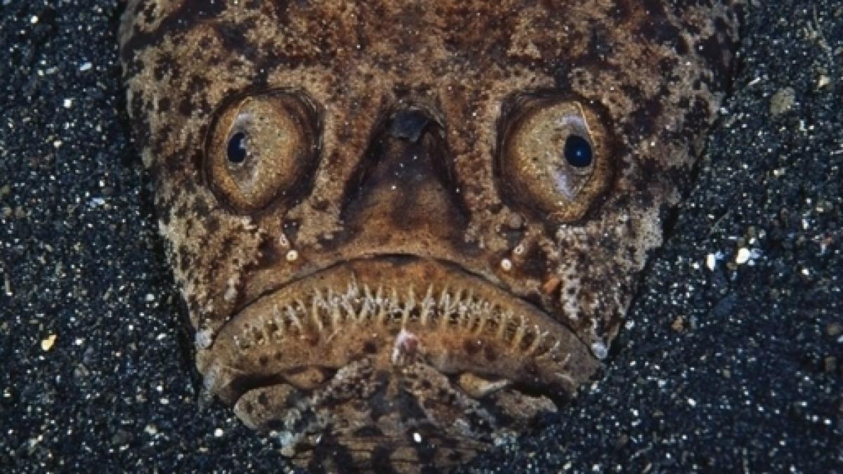
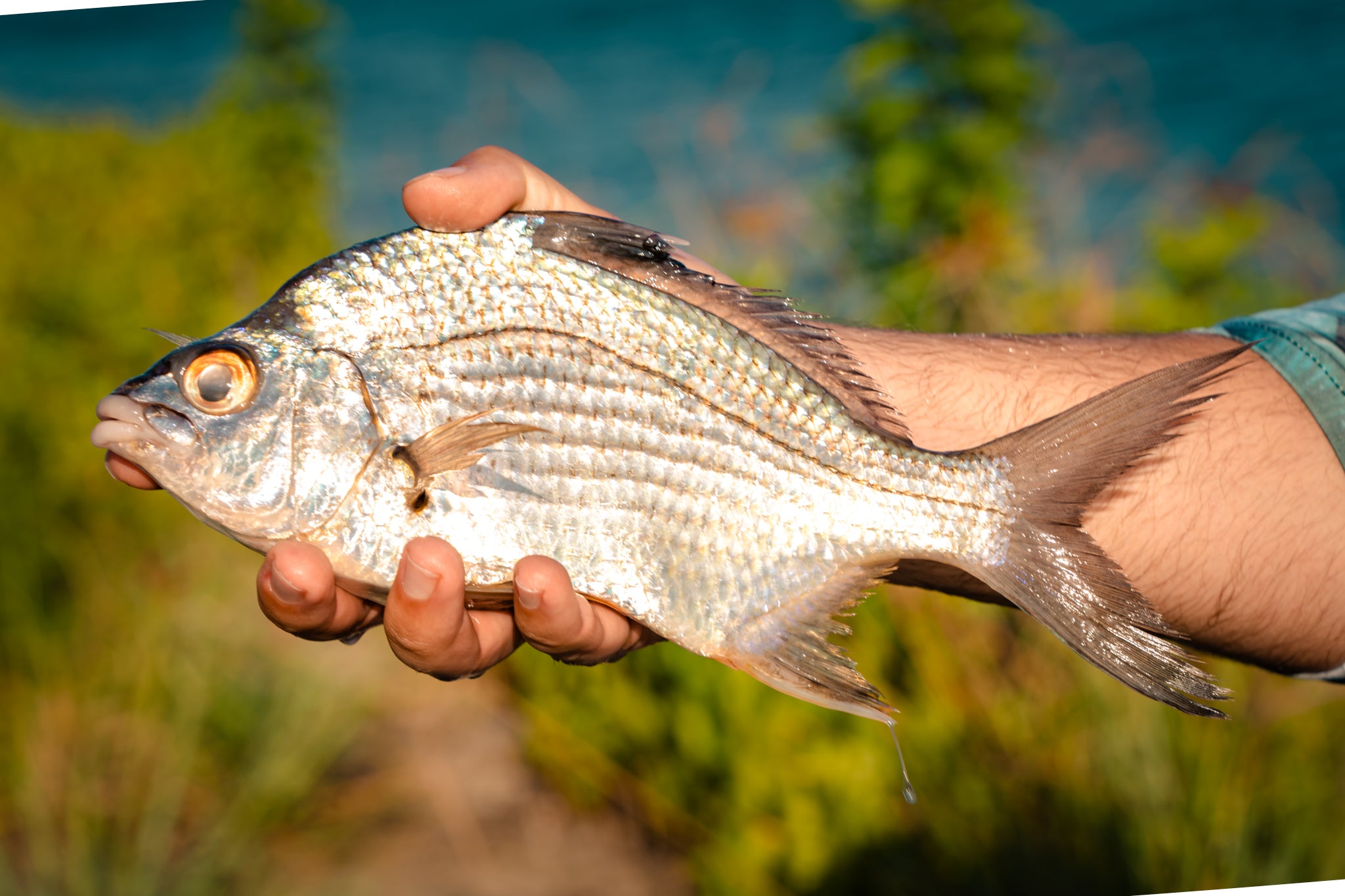
Another tip that I can give is to offer the owner help in return for your opportunity to fish their pond. It's a win, win, and shows them that you are respectful and willing to work a little to fish. I have personally located dozens of new spots that have yielded excellent results over the years. Here are a few examples of spots that I found using satellites:
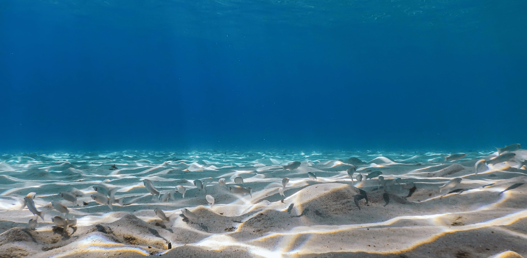
Here is another oldie but a great example of how we found this spot and it performed very well: